


Want to make faster business decisions without flying blind?
Smart companies are leveraging drone data to help do just that. Whether inspecting power lines or overseeing construction progress, drones are now being deployed to capture data that once took days (if not weeks) to gather.
And the best part?
That information reaches decision makers instantaneously. Teams are therefore able to make:
- Faster operational decisions
- Smarter maintenance calls
- Better safety choices
Here is how it all works…
What’s inside:
- Why Drone Data Beats Old-School Methods
- How Drone Data Speeds Up Operations
- The Industries Winning With Drones
- How To Start Using Drone Data Today
Why Drone Data Beats Old-School Methods
Old inspection methods are slow. Painfully slow.
Deploying a crew to climb a 100-foot transmission tower can take hours. It also places workers at risk. By the time a report reaches a manager’s desk, the issue may have escalated.
Drones flip that whole script.
Power line drones can inspect miles of grid in one flight. They take high-res photos, thermals, and LiDAR scans while keeping crews safe on the ground. You can have that data delivered directly to a decision maker…typically in minutes.
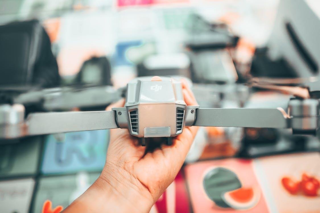
That’s why unmanned aircraft companies specializing in drones for power line inspection, like WISPR, an American-made drone company, are quickly expanding. They understand utility crews need quick and accurate information to make informed decisions regarding repair, vegetation management and overall grid wellness.
Industry estimates report that the power line inspection drone market is expected to grow to $1.318 Billion in 2025.
That’s massive growth and it demonstrates how much faith companies are placing in drone data to fuel their businesses.
How Drone Data Speeds Up Operations
So how does drone data actually make decisions faster?
Let’s break it down.
Real-Time Data Collection
Drones don’t just take pretty pictures. They collect:
- Thermal images of hot spots on power lines
- 3D maps of construction sites
- Crop health data for farmers
- Damage assessments after storms
All of this information is relayed to teams as it happens. No waiting for a paper report. No expensive helicopter flyover.
Smarter Pattern Spotting
Drone software today implements AI to recognize things humans wouldn’t necessarily notice. Such as…
For example, if a power line inspection drone identifies a hot spot on a transformer, the anomaly is flagged immediately. The system may even be able to forecast when that transformer will fail. That allows utility crews to repair it before it fails.
That is huge for cutting downtime.
Lower Costs Across The Board
Drone data is inexpensive when compared to previous technologies. A study of construction surveys revealed that drones can save projects anywhere from 5% to 20% in cost, while measurement accuracy increased by about 61%.
For a business doing dozens of inspections every year, those savings add up fast.
The Industries Winning With Drones
Commercial drones are also utilized outside of the energy industry. Forward-thinking companies are finding countless uses for drone data.
Energy and Utilities
This is the big one.
Utilities across North America are deploying power line inspection drones. Benefits to teams include:
- Find damaged insulators
- Spot vegetation growing into power lines
- Catch issues before outages hit customers
North America accounted for nearly 37% of the drone surveillance market size share in the energy sector in 2025 alone. Just let that sink in regarding how committed utilities are to drone technology.
Construction
Contractors are using drones to monitor job progress and identify safety hazards. Drone use on every project increased to ~45% of civil contractors in 20 24–and climbs to 67% among larger contractors.
That is not a trend. That is standard practice now.
Agriculture
Farmers use drone data to:
- Monitor crop health
- Spot pest issues early
- Plan irrigation more efficiently
Better data means better yields and lower running costs.
Insurance and Disaster Response
Insurers dispatch drones to storm damage once it’s passed. Inspectors receive precise information within hours, not weeks. Quicker claims = happier customers. Fraud payouts decrease.
How To Start Using Drone Data Today
Ready to add drone data to your decision-making process?
Here’s a simple step-by-step plan to get started.
Step 1: Define The Goal
Don’t just buy a drone because it looks cool. Ask the right questions first:
- What problem needs solving?
- What data is needed?
- Who will actually use this data?
Monitoring objective might be to reduce power line inspection times by half for a power line crew. For a construction team, it may be monitoring weekly progress on a construction project.
Step 2: Pick The Right Drone
Not every drone is built for every job.
Power line inspection drones are quite unlike delivery drones or agricultural drones. Ensure the drone selected has appropriate sensors and flight time.
Look for things like:
- Thermal imaging
- LiDAR or photogrammetry
- Long flight times
- Easy data export
Step 3: Train The Team
A drone is only as good as the person flying it.
Ensure pilots are trained and licensed. In the United States, this means acquiring a Part 107 license through the FAA. Pilots typically can complete this with several weeks of study.
Step 4: Build A Data Workflow
The data a drone collects needs to go somewhere useful. A good workflow should:
- Store data securely
- Let teams review it quickly
- Connect to the decision-making process
This is where the magic actually happens.
Speed is important so drone data can be analyzed quickly and intelligent decisions can be made.
Step 5: Measure The Results
Once drone data is in play, track the impact.
- Are inspections faster?
- Are repairs happening sooner?
- Is downtime going down?
These statistics will indicate whether or not the drone program is successful — and where there is room for improvement.
Final Takeaways
Commercial drone usage will revolutionize smart business intelligence. It’s quicker, less expensive, and much safer than traditional techniques.
To quickly recap:
- Drones collect data in real time
- That data speeds up operational decisions
- Industries like energy, construction, and agriculture are leading the way
- Getting started is easier than most people think
Those who start leveraging drone data now will be making the best informed decisions tomorrow. If drones aren’t part of operations yet, what is the wait for? The technology is here. The data is ready. And the results speak for themselves.


